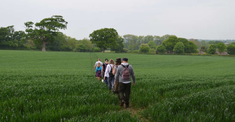
With street parties all the rage this jubilee season, we sent our own magnificent seven out for a walk this month, under the tutelage of resident rambler, Robert Veitch. Have your own street party we suggested, and in their own way they did, and they did it in style
At 24m (78 feet) above sea level the start point is the low point of the day, which must mean it’s all uphill from here… though it’s barely noticeable!
From the black fingerpost behind platform 1, beside the level crossing, follow the narrow path through the lush undergrowth to the step stile. Once over it, stride out diagonally towards the ladder stile across the field and Beechwood Lane beyond. Turn right and follow the tarmac for ¾ of a mile to where the road turns 90° right.
10m beyond the bend, scramble through the gap in the hedge on the left and into the field. Turn right and follow the path diagonally between the chicken wire and stock proof fence, into the trees and adjacent field. Emerging into a sea of broad beans, the path continues uphill past the fingerpost to the stump just beyond. Turn left and follow the field boundary to the far end.
Faced with two paths into the trees, take the left option and continue alongside the high stock proof fencing, dipping downhill, past a gate and ancient oak, before ascending to the junction with the grassy track. Turn left and after 60m, bear right, through the gap in the hedge, through the scrub, up five steps and into a field of seedlings.
Bear right and follow the field boundary downhill towards the track and into the adjacent field. On the left is a ‘peculiar oak’ with “dead branches reaching up towards the heavens,” remarked Gill. Follow the field periphery all the way to the ladder stile, then once over the other side, turn right, and after 10m, turn left and cross the 3-sleeper bridge.
The path leads diagonally across a meadow of buttercups to a kissing gate. Ramble across the next field towards the three oaks and distant step stile. Beyond this, turn left, and wander along the concrete drive, over the cattle grid, then all the way to the junction with Novington Lane.
Beside the red postbox is a ladder stile. Once over this, aim diagonally right, walking downhill towards the ladder stile that precedes the junction with Chapel Lane.
Turn left, and follow the curve of the road, past the pub, for 300m before turning right at East Chiltington Parish Church. The track eases downhill and over a stream, then continues through the beech trees, passing the 3-way fingerpost on the way to the junction with Plumpton Lane.
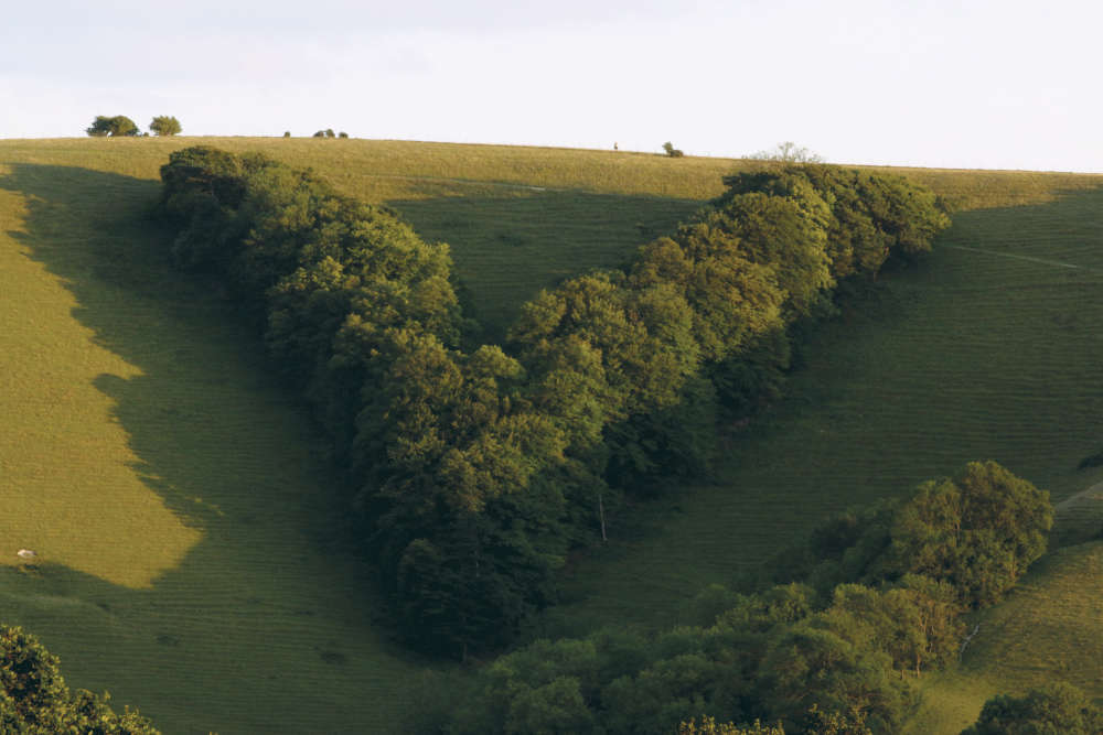
Cross the road with care and enjoy the easy walking atop the tarmac as the route continues west, past the racecourse and another 3-way fingerpost. Tarmac evolves into track and the route continues west, past Philip and Foye Ridley’s bench and the Plumpton Cross notice board opposite, where there are glorious views to the south. Eagle eyed Callum pointed out the Queen Victoria Golden Jubilee ‘V’ plantation. “There are 3,000 trees there, they were planted in 1887,” he remarked with a self-satisfied smile, “including Scots pine, spruce, larch, sycamore, lime and beech.”
Continue west to junction with Streat Lane. “You don’t need a jubilee for a Streat party here,” chirped Ruby with a grin. Turn left, and then after 25m, veer right at the retro red telephone box and follow the track past Streat Parish Church, pausing as Adele and Sara did, to try and spot the birdbath shaped memorial in the graveyard.
After another 400m is the junction with tarmac drive. Turn left, then 100m later turn right, and follow the drive for ¾ of a mile, through the fields, to the junction with Spatham Lane.
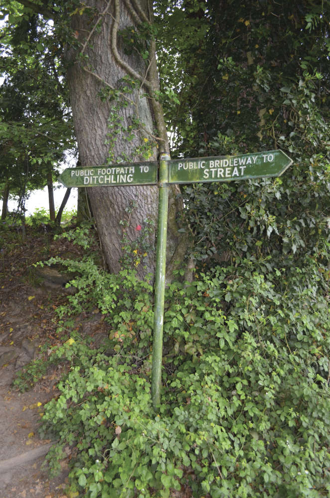
Cross over and climb the flight of steps beside the period fingerpost from yesteryear. The path continues between the bank and the rhododendrons and at 69m (227 feet) it’s a rather inauspicious high point of the day. Emerging across the cut grass of the recreation ground, continue over the footbridge towards the fingerpost and then the yellow gate, which leads into Farm Lane.
Cross to the gravel path opposite, then once through two kissing gates, keep going to the junction with Lewes Road. Turn right and follow the brick pavement, over the mini roundabout and past St. Margaret’s Church, before turning right into Lodge Hill Lane.
Amble past the pond and Boddington’s Lane, following the road around the 90° left turn, before utilising the very civilised ladder stile on the left to enter the field. Continue, between the lines of stock proof fencing across two fields to the 3-sleeper bridge and kissing gate, before walking across the fence free third field, all the way to the kissing gate.
Cross over to Grand Avenue with care and follow the crescent of the road for ½ a mile to the junction with Keymer Road in downtown Hassocks. Turn right and from here, it’s little more than a hop, skip and a jump up to Hassocks railway station. “I’ll be home in time for tea and cake,” said Stephen with a gleeful smile, “what a lovely walk to do with friends.”
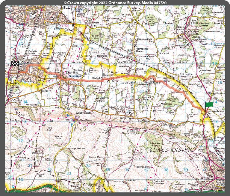
- Distance: 7 miles
- Walk Time: 3 - 3¼ hours
- Stiles: 7
- Kissing Gates: 5
- Footwear: Trainers should be fine for all, or almost all of it
- Elevation Gain: 81m (267 feet)
- Calorie Burn: Approximately 695 kcal
- Map: OS Explorer OL11
- Parking: Pay parking available at Cooksbridge station (limited spaces) and Hassocks station
- Trains: See southernrailway.com for services to and from Cooksbridge and Hassocks
Robert has tested the route personally, making sure it is suitable for walking. However, even he cannot guarantee the effects of the weather, or roadworks, or any other factors outside of his control. If you would like to send your feedback about a local walk, please email editorial@sussexliving.com

 Book Reviews: November Novels... and more!
 What to Watch in October 2024
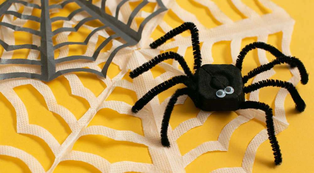 Kids Zone: Spooky Spider's Webs
 If You Ask Me: Humanity's Greatest Invention
 If You Ask Me: A Desert Island Drag
 Kids Zone: Mud Kitchens
 What to Watch in July 2024
 Kids Zone: Ice Block Treasure Hunt!
 What to Watch in June 2024
 A Gourmet Escape on the Eurostar: London to Amsterdam with Culinary Delights in Almere
 If You Ask Me: Train Announcements Have Gone Off the Rails
 If You Ask Me... Never Argue with an Idiot
 Kids Zone: Mosaic Art
 What to Watch in April 2024
 If You Ask Me: The Jobsworth and the Frog
 What to Watch in March 2024
 If You Ask Me... Politicians need a Translator
 Dark Skies Festival 2024: Where & When to Gaze at the Stars
 Be Well, Move Happy: Walking & Silence
 Special Interest Holidays: Try Something Different