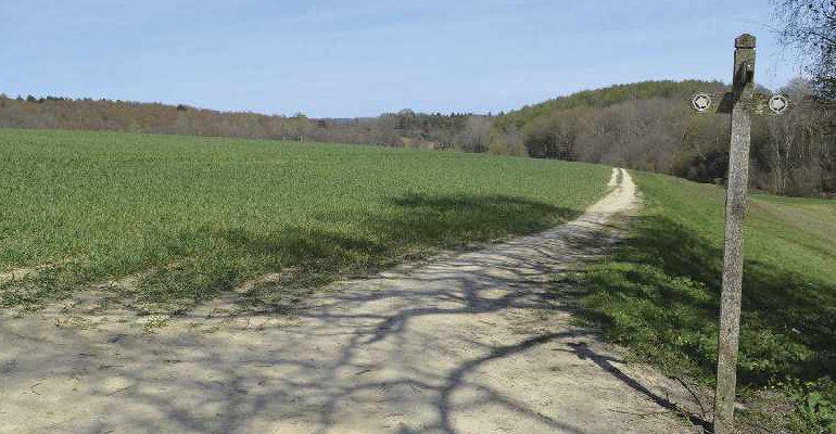
We thought for a change, we would allow our resident rambler Robert Veitch to come up with something on his own patch. Make it go past your house we said, find some bluebells we asked. He succeeded with one and got within 50m of the other. Happy wandering!
- Distance: 7¼ miles
- Walk Time: 2¼-2¾ hours
- Footwear: Trainers should be fine for 99% of it
- Stiles: 1
- Elevation Gain: 201m (660 feet)
- Calorie Burn: Approximately 655kcal
- Map: Explorer 135
- Refreshments: Take them with you, and then treat yourself to a coffee and cake afterwards in town
- Parking: Free parking at the Croft Road car park, postcode TN6 1DR
From the car park, wander down the ramp, past Montargis Terrace, to the junction with Croft Road. Turn left and continue through the High Street to the traffic lights.
Cross over, turning right and downhill, walking past the parade of shops, then past Batchelor Crescent and High Cross Fields, continuing along the pavement once the hedge separates it from the road.
The path turns 90° left and continues past the car park and skate park. Across the road and through the gap in the hedge, turn left and follow the path along the topside of the running track to the exercise equipment. Walk across the football pitch diagonally to the far right hand corner, noting the views towards Tunbridge Wells along the way. The ground drops away to join the road by the fingerpost.
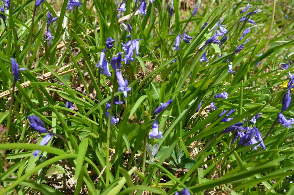
Turn right and tumble downhill, then along the rolling terrain of Beechen Wood and Cage Wood; the sound of modern life replaced by birdsong and the first sighting of bluebells. 300m beyond the small ponds on the left and right, the track splits left and right.
The path continues, between two posts, then alongside the left hand track, through a gate, across the gravel, through the kissing gate, across the paddock to another kissing gate and then into the woods.
The path emerges into a field of young wheat, leading straight as a ruler to a 4-way fingerpost. Continue past the fingerpost, easing downhill, alongside the stream to the junction with the bridge.
Turn right, and take the concrete track uphill, veering left at the fingerpost. At the tarmac, the path angles left by a fingerpost, down a small bank and across another wheat field, then along its’ periphery to a kissing gate.
Follow the path through the woods, but do not stray from it, there is a chance to sneak a peak at Hamsell Lake by the barrier. Continue to the traffic island and the junction with Forge Road.
Turn left and walk carefully along the road. The bridge across the stream at 64m (210 feet) is the low point of the day, and 50m beyond it take the turning on the left, by the bridleway sign, easing uphill along fresh tarmac.
After 200m, the path breaks left, to the stile, metal 7-bar gate and the corrugated barns, before swinging right and into another field of wheat. Continue through this field, and the two afterwards, but only as far as the 4-way fingerpost by the fenced hawthorn saplings.
Turn left, walking gently downhill, then diagonally across the adjacent field, and more steeply downhill to the kissing gate. Follow the path from earlier on in the reverse direction, alongside the stream, then uphill to the 4-way fingerpost.
Turn right, up and over the brow, before plunging down into the glade where one could easily imagine Christopher Robin, Pooh and Piglet ruminating on the important issues of the day
Once across the wooden bridge bear left, through the sea of bluebells, following the path as it ascends steeply to the right, eases left, then bears right once again, before levelling off and joining the track by the 3-way fingerpost.
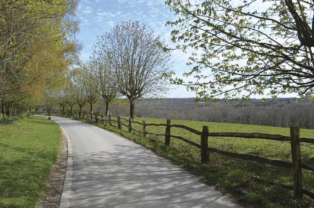
Turn left, and continue past the collection of buildings known as Orznash, then half a mile later, the collection of buildings known as Gillridge. Beneath the poplar trees is the ‘Dennis and family’ bench… the last opportunity to pause before the final ascent to the finish line. Beyond the bench, the tarmac swings left and downhill, past the equine sand school and timber stacks, continuing to the junction with London Road.
Cross carefully, then turn left, and follow the pavement past Ghyll Road, to the junction with Elim Court Gardens. Turn right, then after 75m, turn left by the ancient oak tree, into the twitten that connects through to Fairview Lane.
Once in Fairview Lane walk uphill to the crossroads. Cross over into Beacon Gardens and prepare for the sting in the tail of this walk. The locals are proud of being the most elevated town in Sussex at 242m (794 feet) and one of the most elevated in all of England. Towards the end, the road turns 90° left before joining Beacon Road.
Turn right, and continue uphill, after 200m turn left into Mill Lane. At 239m (783 feet) it’s the highest point of the day. Turn left again, into Pine Grove and it’s a downhill stroll to the finish.
Take the path on the right, by the car park entrance, through the woods, revelling in the last of the bluebells, plotting some tasty treat as a reward for a good walk, well done.
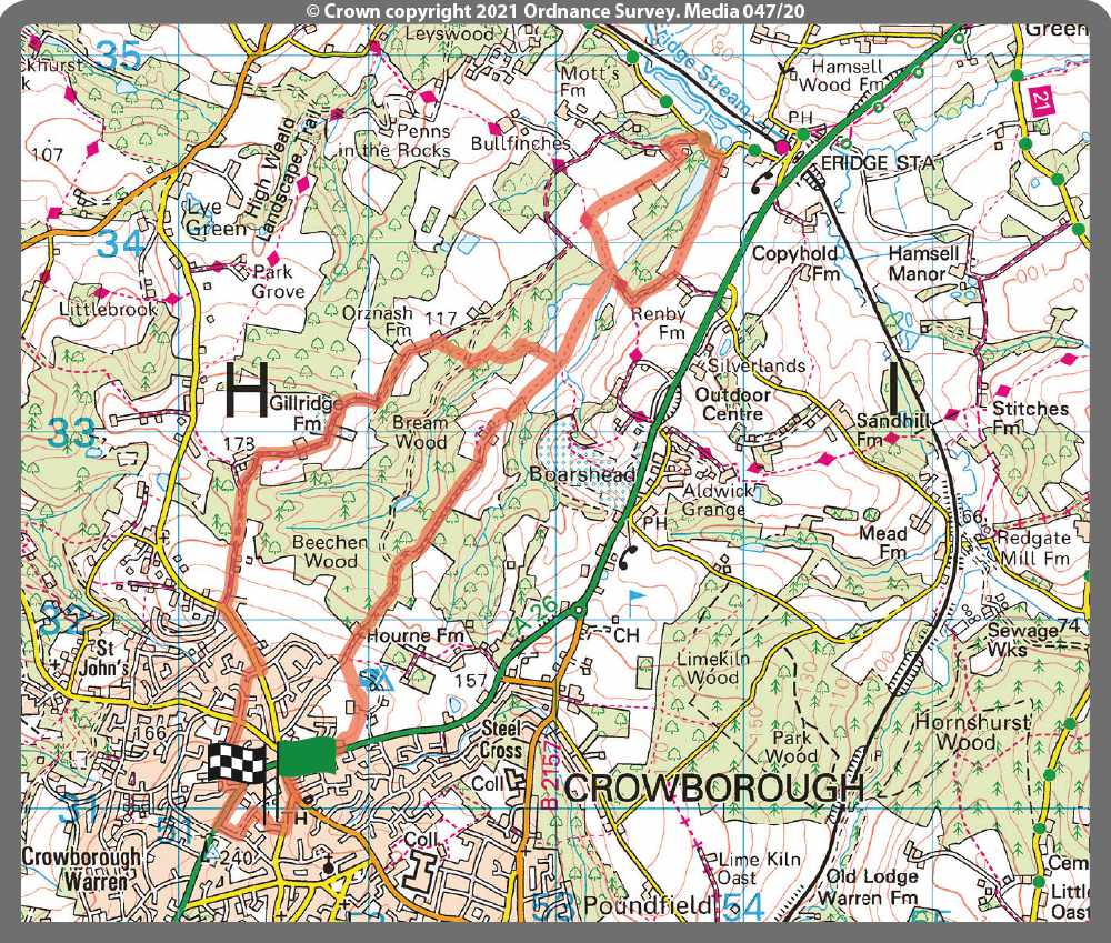
Robert has tested the route personally, making sure it is suitable for walking. However, even he cannot guarantee the effects of the weather, or roadworks, or any other factors outside of his control. If you would like to send your feedback about a local walk, please email editorial@sussexliving.com

 It's a Dog's Life: A Decade of Dog!
 December Book Reviews
 If You Ask Me: Flo’s Virtual Bookshop
 Kids Zone: Christmas Traditions
 Book Reviews: November Novels... and more!
 What to Watch in October 2024
 Kids Zone: Spooky Spider's Webs
 If You Ask Me: Humanity's Greatest Invention
 If You Ask Me: A Desert Island Drag
 Kids Zone: Mud Kitchens
 What to Watch in July 2024
 Kids Zone: Ice Block Treasure Hunt!
 What to Watch in June 2024
 A Gourmet Escape on the Eurostar: London to Amsterdam with Culinary Delights in Almere
 If You Ask Me: Train Announcements Have Gone Off the Rails
 If You Ask Me... Never Argue with an Idiot
 Kids Zone: Mosaic Art
 What to Watch in April 2024
 If You Ask Me: The Jobsworth and the Frog
 What to Watch in March 2024